Skip Navigation
Falvey Library
Advanced
You are exploring: Home > Blogs

Geography Awareness Week: The First Statistical Atlas

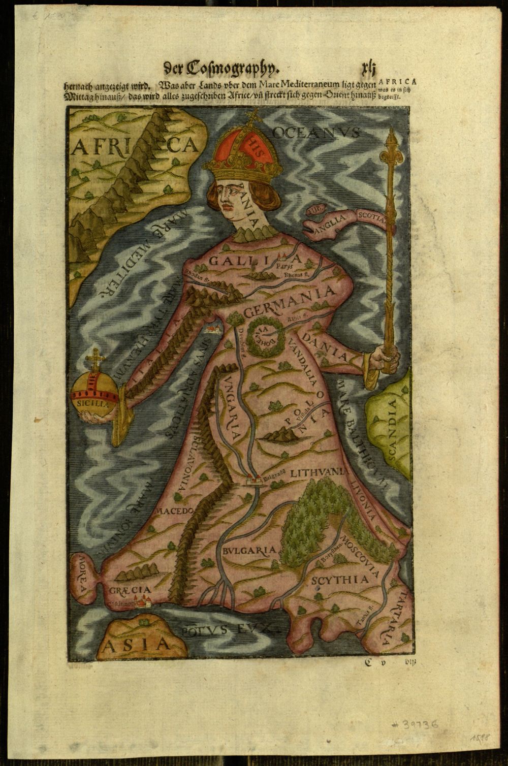
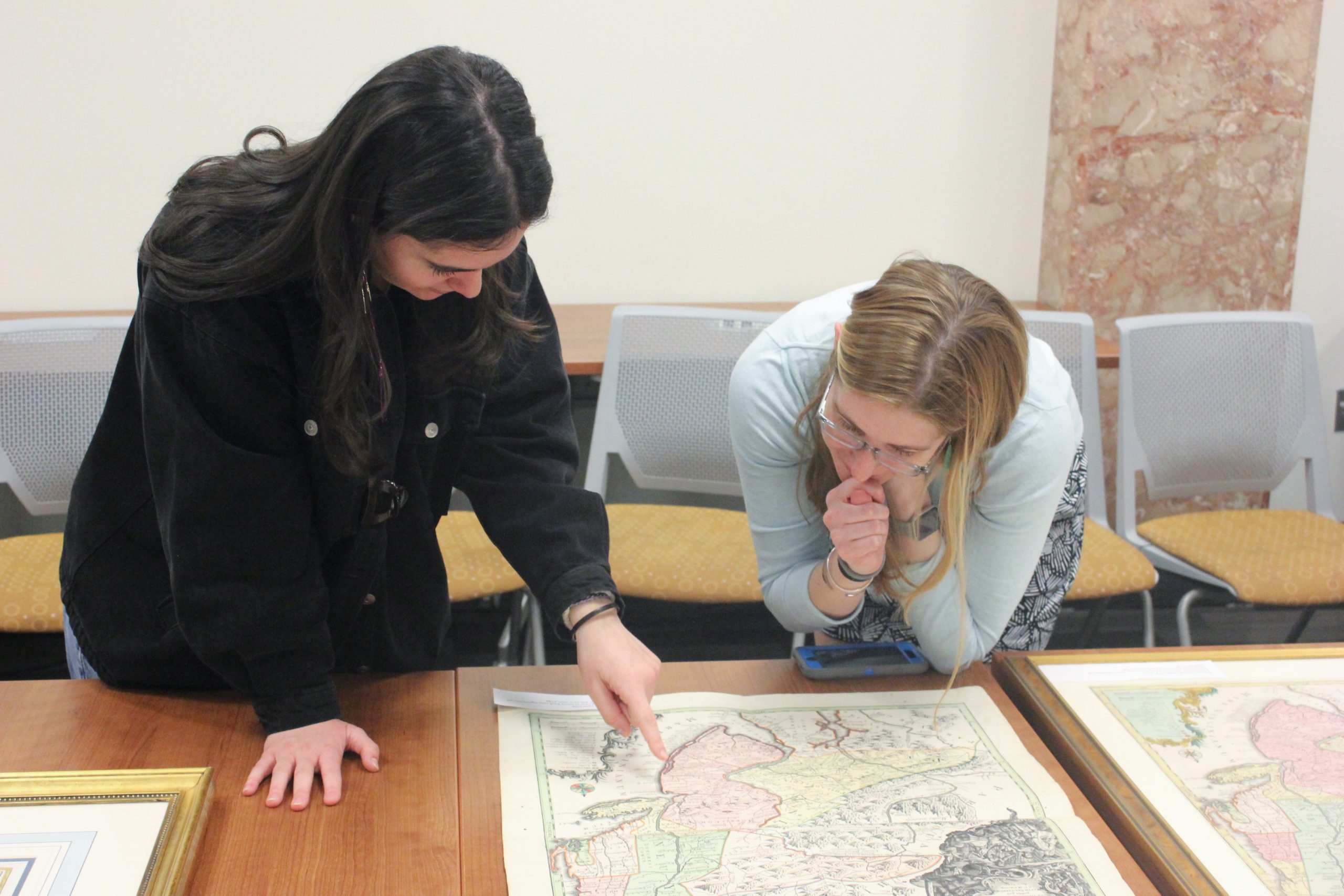
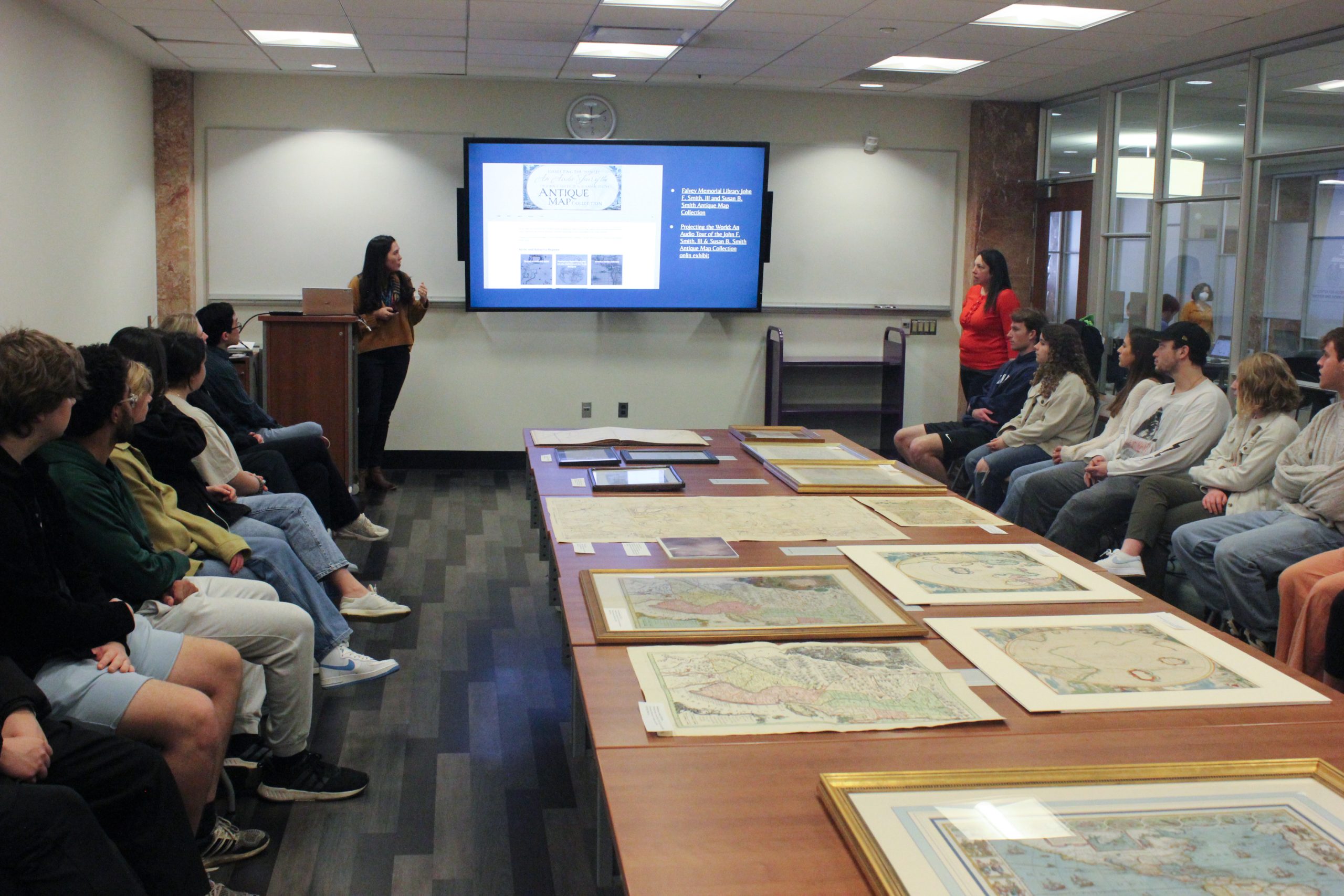
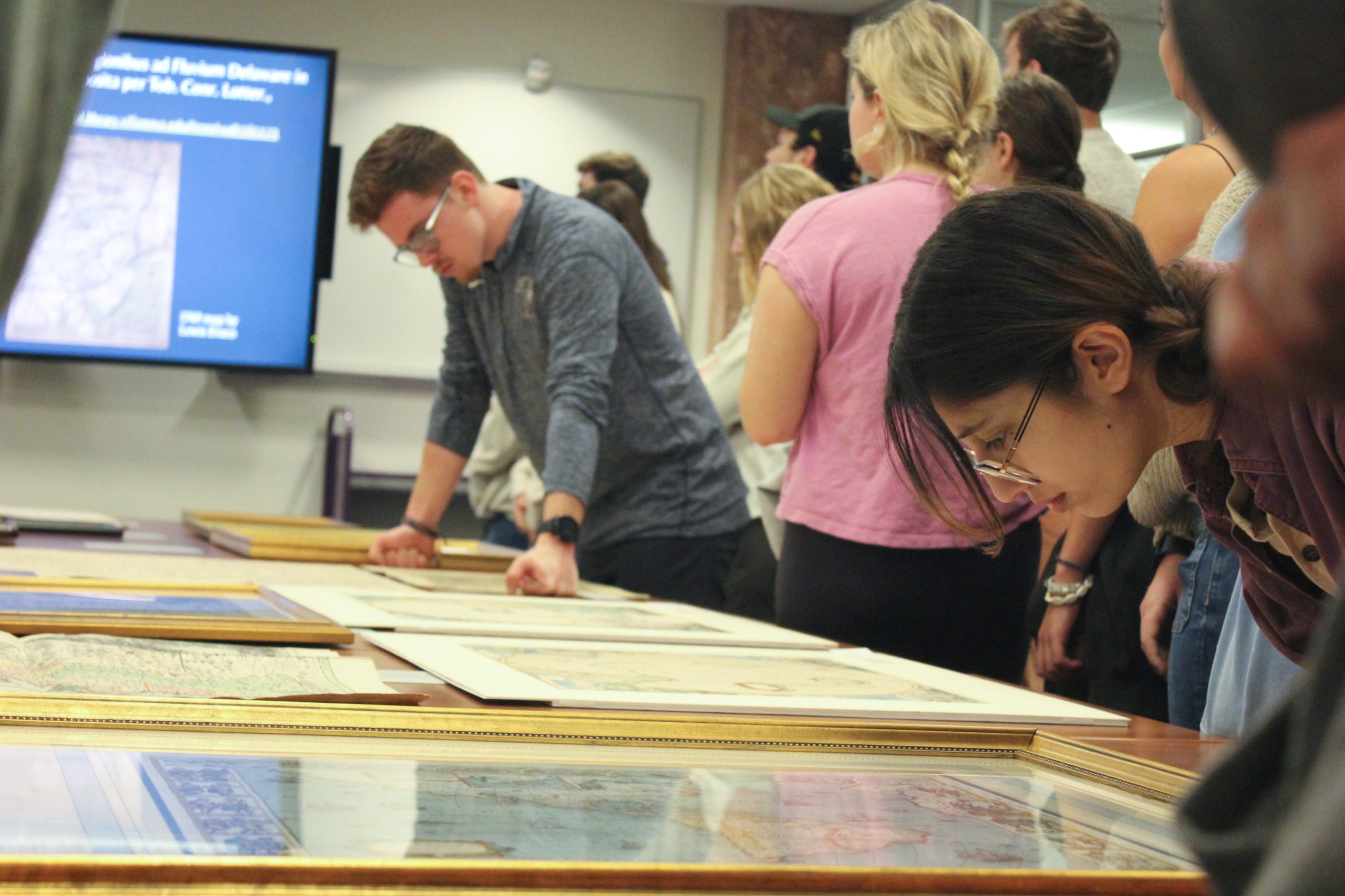
If you’ve been following Falvey Library’s social media, blog, and in-person events this week you already know all about Geography Awareness Week. On Tuesday, we hosted an open house featuring some highlights from The John F. Smith, III and Susan B. Smith Antique Map Collection and other map holdings from Distinctive Collections. Visitors especially enjoyed browsing through several nineteenth-century grade school geography books. In case you missed it, many maps can be found online in the Digital Library. Here is one of my favorites:


Walker’s Statistical Atlas of the United States: Based on the Results of the Ninth Census 1870 with Contributions from Many Eminent Men of Science and Several Departments of the Government.

See the full atlas in the Digital Library here: https://digital.library.villanova.edu/Item/vudl:611320

Geological Map of the United States, 1874.


Published in 1874 and compiled by Francis A. Walker, the superintendent of the 1870 census, this is the first statistical atlas – that is, the first national atlas that took data from the United States census and published visualizations in the form of maps and charts. (Hint: take note and check out the Falvey Data Visualization Competition!)

Part I of the atlas shows maps of the physical features of the U.S., including geological formations, woodlands, river systems, rain-fall, and temperature. Parts II and III feature thematic maps and graphs of “Population, Social and Industrial Statistics” and “Vital Statistics.” There are maps showing the Black population, the population of those with “foreign parentage,” wealth, debt, birth rates, death by specific diseases, and so much more.

In a section titled, “The Progress of the Nation,” several maps show the density of general population (ahem, “excluding Indians not Taxed”) in a series of maps from 1790 to 1870. The 1870 map includes the addition of Native American reservations to the map.


Inspired by Merril Stein’s recent demo of PolicyMap, an online GIS data mapping and analytics tool, here is a demographic map showing the population density in the United States in 2020 (the source is the 2020 census).


PolicyMap. (n.d.). Number of people per square mile in 2020 [Map based on data from Census: US Bureau of the Census, 2000 Longform]. Retrieved November 16, 2023, from http://www.policymap.com.

Learn more about statistical atlases and the U.S. Census Bureau here: https://www.census.gov/history/www/programs/geography/statistical_atlases.html


Rebecca Oviedo is Distinctive Collections Librarian/Archivist at Falvey Memorial Library.


Like
1 People Like This Post

New Exhibit: Smith Map Collection in Old Falvey


Say goodbye to the empty walls in Old Falvey! Falvey Library’s Distinctive Collections and Digital Engagement has newly installed a selection of maps from the John F. Smith, III and Susan B. Smith Antique Map Collection in the study space of Old Falvey’s second floor between the Dugan Polk Family Reading Room and the CAVE. This transformation could not have been possible without the help of Villanova’s Office of Facilities Management, Falvey’s Finance & Administration staff, and especially Jennie Castillo, Curator of the University Art Collection & Gallery Director for all their help with every step of the installation.


2nd Floor, Old Falvey: Before!

The sixteen maps on view all show early views of the Americas printed before 1800. Perhaps even more so than providing direction, charting a course, or sharing “new discoveries” in an “Age of Exploration,” maps of the Americas by European cartographers from the 16th through the 18th centuries were about exhibiting political power and control. The acts of claiming and naming, and dividing the land is drawn up on these maps by Dutch, English, Spanish, French, Italian, and German mapmakers.

I selected and wrote accompanying interpretive labels for each of the maps. Thank you also to DCDE staff Meg Piorko, Beaudry Allen, and Michael Foight for their feedback and contributions to the labels; and to John F. Smith, III who provided the basis of the content through the online exhibit,
Projecting the World: An Audio Tour of the John F. Smith, III and Susan B. Smith Antique Map Collection.

See the full transformation and spend some time reading the maps and the labels next time you pass through the space!


Rebecca Oviedo is Distinctive Collections Librarian/Archivist at Falvey Memorial Library.


Like
1 People Like This Post

Foto Friday: Georeferencing Historic Maps

Erica Hayes, Digital Scholarship Librarian; Rebecca Oviedo, Distinctive Collections Librarian Archivist; and Jennifer Santoro, Department of Geography and the Environment, examine maps from the John F. Smith, III and Susan B. Smith Antique Map Collection with Villanova students.

Jennifer Santoro, Department of Geography and the Environment, talks with a student about historic maps.

Erica Hayes, Digital Scholarship Librarian, shows students Falvey’s online exhibit, “Projecting the World: An Audio Tour of the John F. Smith, III & Susan B. Smith Antique Map Collection,” and georeferencing tools.

Students focus on maps from the John F. Smith, III and Susan B. Smith Antique Map Collection.


Learning about georeferencing historic maps, students in Jennifer Santoro’s Introduction to Geographic Information Systems (GIS) course had the opportunity to examine maps from the John F. Smith, III and Susan B. Smith Antique Map Collection on Thursday, Feb. 23, in Falvey Library. Collaborating with Santoro, Erica Hayes, Digital Scholarship Librarian, showed students georeferencing tools and Rebecca Oviedo, Distinctive Collections Librarian Archivist, shared more information about historic maps in the collection.

View the John F. Smith, III and Susan B. Smith Antique Map Collection here. Contact Rebecca Oviedo for more information.

Interested in integrating digital tools and methods into your research? Contact Erica Hayes.


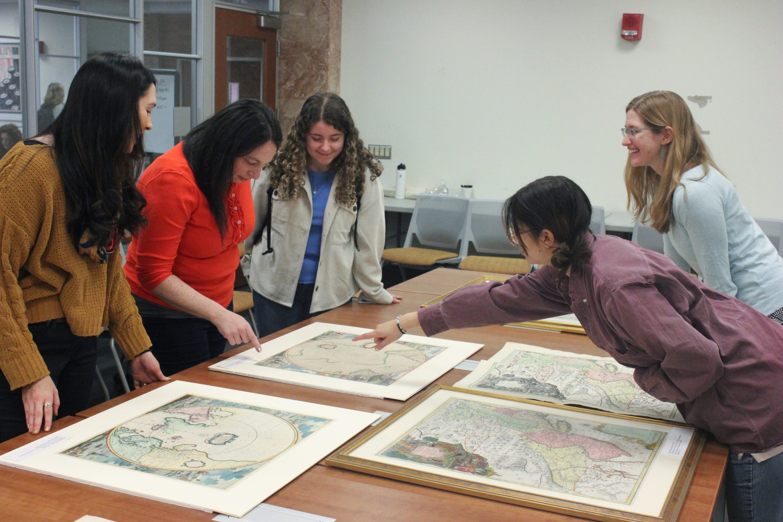
Kallie Stahl ’17 MA is Communication and Marketing Specialist at Falvey Library. Photos courtesy of Shawn Proctor, Communication and Marketing Program Manager.


Like

New Exhibit – Art of War: Illustrated and Military Maps of the Twentieth Century


Our latest exhibit, Art of War: Illustrated and Military Maps of the Twentieth Century, is now on display on the 1st floor of Falvey Library and in select cases at the Prince Family Veterans Resource Center. Both locations feature a selection of two types of imagery: maps that are illustrated, highly pictorial, and created for public distribution; and topographic maps that have been created by government war offices for use in military conflict. The juxtaposition forces a close analysis of the very nature of maps. Often assumed as truthful and accurate, maps lead and guide the way, provide direction, and help us make decisions. Yet as with anything that is human-made there are things to consider – the knowledge or bias of the creator, the intended audience, the purpose of the document.

These examples, largely drawn from the John F. Smith, III and Susan B. Smith Antique Map Collection, explore major conflicts of the twentieth century and emphasize the inherently ephemeral quality of maps. These maps have urgency and are very much “of the moment” – whether they are illustrating a political viewpoint or guiding military forces – they compel us to consider the control, reliability, and availability of wartime information.

The exhibit was co-curated by Rebecca Oviedo, Distinctive Collections Archivist, and Christoforos Sassaris, Distinctive Collections Coordinator, with graphics created by Joanne Quinn, Director of Communication and Marketing. Stay tuned for more information on a coordinating event and reception, to be held later this fall during the week of Veteran’s Day.


Military Mapping Maidens (3Ms) case in Falvey Library


Cases at the Prince Family Veteran’s Resource Center in Vasey Hall


Like
1 People Like This Post

New Exhibit on Illustrated and Military Maps

Low, David, Caricature of Post-War Europe. [London]: Picture Post, 1952, SMITH VII-49.

Maps do far more than showing us the locations of places. They can persuade viewers and shape their perceptions of the world. They can also offer critical insight that leads to world-changing decisions, especially in times of war.

Art of War: Illustrated and Military Maps of the Twentieth Century, an upcoming exhibition co-curated by Rebecca Oviedo, Distinctive Collections Archivist, and Christoforos Sassaris, Distinctive Collections Coordinator, explores the creation and various uses of illustrated and military maps in the twentieth century. The maps are drawn mainly from the most recent addition of items generously donated to the John F. Smith, III and Susan B. Smith Antique Maps Collection. Several maps from this extensive collection have been digitized and can be viewed on Falvey’s Digital Library. You may also access an audio tour in which Mr. Smith comments on the maps’ significance.

Situation Map to Accompany Subj 5303/3. Münster. Central Europe 1:100,000. G.S.G.S. 4416 Published by War Office 1944. Revised, drawn and photolithographed at O.S. Army Map Service, U.S. Army, Washington, D.C., 1944. Reproduced at the U.S. Army Command and Staff College, 1947. SMITH VII-50.

The maps on view will range from strategic situation maps used by the US military to pictorial maps that implement satire and caricature to influence public perception of ongoing conflicts. Together, these maps shed light on how the spread of information—both textual and visual—took part in shaping major conflicts of the twentieth century.

Art of War: Illustrated and Military Maps of the Twentieth Century is co-hosted by Falvey Memorial Library and the Office of Veterans and Military Service Members, and will be viewable on both the first floor of Falvey Memorial Library and in the Prince Family Veterans Resource Center starting on September 8th through the remainder of the fall semester.

We hope to see you there!


Like
1 People Like This Post

Travel the world through maps!

Many people’s summer travel plans have been canceled due to the COVID-19 pandemic, but you can still get a taste of places near and far through our newly-launched website, Projecting the World: An Audio Tour of the John F. Smith, III and Susan B. Smith Antique Map Collection. This website provides a virtual tour of the Smith Antique Map Collection, pairing digital images of maps and illustrations with audio commentary from their collector, Mr. Smith. This trip also involves time travel as these materials span the 16th through the 21st centuries.

Map of the Bahamas and surrounding islands

A new chart of the Bahama Islands and the windward passage.

Set sail for the Bahamas in this beautifully colored map from 1749. Besides the islands, the map depicts the shallow areas of the Bahama Bank and the Grand Bahama Bank, which posed a danger to ships.

Map of Europe in the shape of a queen

Map of Europe as queen.

Take a flight of fancy to Europe in this image that rearranges the countries of that continent to resemble a queen. This may not be useful as a map for getting around, but it is certainly an eye-catching image!

Photo of Earth from space

The planet Earth.

You can even do some space travel in this collection! This 2004 image of the Earth from space is one example of how human spaceflight has drastically changed our perspective on our planet.

Map of Pennsylvania

A map of Pennsylvania exhibiting not only the improved parts of that Province, but also its extensive frontiers.

If you want to stay closer to home, take a road trip across this marvelous map of Pennsylvania from 1775. Watch out for the Great Swamp and the Endless Mountains!

These are just a few of the many places you can explore through Projecting the World, so be sure to visit the site for more virtual travel adventures near and far.

This project, like so many things, has been interrupted by the COVID-19 pandemic and, as a result, the website currently only presents selected materials from the collection for which both an image and a recording are available. To view all of the items in the Smith Antique Map Collection, view the records in the library’s catalog.


Like
1 People Like This Post


Last Modified: July 27, 2020

Ask Us: Live Chat
Back to Top